
About – St Helier
Country :- British Isles
State:– Channel Islands
Basic Statistics
Area:- 4.1 sq mi (10.6 km)
Population:- 28310
Density:- 6904.9/sq mi (2670.8/km)
History – St. Helier
It is thought that the site of St. Helier was settled at the time of the Roman control of Gaul.
The medieval hagiographies of Helier, the patron saint martyred in Jersey and after whom the parish and town are named, suggest a picture of a small fishing village on the dunes between the marshy land behind and the high-water mark.
Although the Parish Church of St Helier is now some considerable distance from the sea, at the time of its original construction it was on the edge of the dunes at the closest practical point to the offshore islet called the Hermitage (site of Helier’s witness and martyrdom). Before land reclamation and port construction started, boats could be tied up to the churchyard wall on the seaward side.
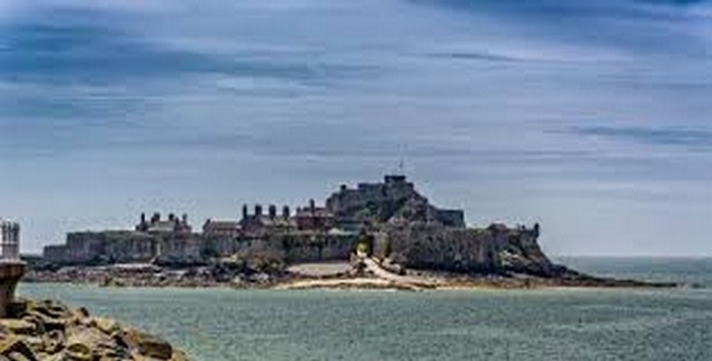
An Abbey of St. Helier was founded in 1155 on L’Islet, a tidal island adjacent to the Hermitage. Closed at the Reformation, the site of the abbey was fortified to create the castle that replaced Mont Orgueil as the Island’s major fortress. The new Elizabeth Castle was named after the Queen by the Governor of Jersey 1600-1603, Sir Walter Raleigh.
Until the end of the 18th century, the town consisted chiefly of a string of houses, shops and warehouses stretching along the coastal dunes either side of the Church of St. Helier and the adjacent marketplace (since 1751, Royal Square). La Cohue (a Norman word for courthouse) stood on one side of the square, now rebuilt as the Royal Court and States Chamber (called collectively the States Building). The market cross in the centre of the square was pulled down at the Reformation, and the iron cage for holding prisoners was replaced by a prison gatehouse at the western edge of town.
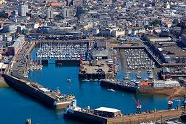
George II gave 200 towards the construction of a new harbour – previously boats would be beached on a falling tide and unloaded by cart across the sands. A statue of the king (by John Cheere) was erected in the square in 1751 in gratitude, and the market place was renamed Royal Square, although the name has remained Marchi (the old market) to this day in Jerriais. Many of St. Helier’s road names and street names are bilingual English/French or English/Jerriais, some having only one name though, although the names in the various languages are not usually translations: distinct naming traditions survive alongside each other.
The Royal Square was also the scene of the Battle of Jersey on January 6, 1781, the last attempt by French forces to seize Jersey. John Singleton Copley’s epic painting The Death of Major Pierson captures an imaginative version of the scene.
As harbour construction moved development seaward, a growth in population meant that marshland and pasture north of the ribbon of urban activity was built on speculatively. Settlement by English immigrants added quarters of colonial-style town houses to the traditional building stock.
Continuing military threats from France spurred the construction of a citadel fortress, Fort Regent, on the Mont de la Ville, the crag dominating the shallow basin of St. Helier
Military roads linking coastal defences around the island with St. Helier harbour had the effect of enabling farmers to exploits Jersey’s temperate micro-climate and get their crops onto new fast sailing ships and then steamships to get their produce into the markets of London and Paris before the competition. This was the start of Jersey’s agricultural prosperity in the 19th century.
From the 1820s, peace with France and better communications enabled by steamships and railways to coastal ports encouraged an influx of English-speaking residents. Speculative development covered the marshy basin north of the central coastal strip as far as the hills within a period of about 40 years, providing the town with terraces of elegant town houses.
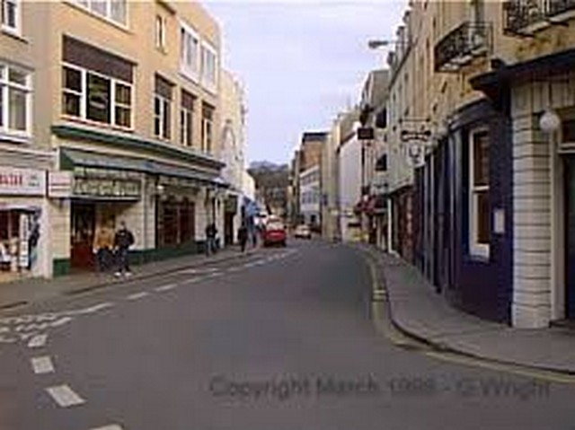
In the second half of the 19th century, the need to facilitate access to the harbour for hundreds of trucks laden with potatoes and other produce for export prompted a programme of road-widening which swept away many of the ancient buildings of the town centre. Pressure for redevelopment has meant that very few buildings remain in urban St. Helier which date to before the 19th century, giving the town primarily a Regency or Victorian character.
Pierre Le Sueur, reforming Constable of St. Helier, was responsible for installing sewerage and provision of clean water in St. Helier following outbreaks of cholera in the 1830s. An obelisk with fountain in the town centre was raised to his memory following his premature death in office from overwork.
In the 1970s, a programme of pedestrianisation of the central streets was undertaken.
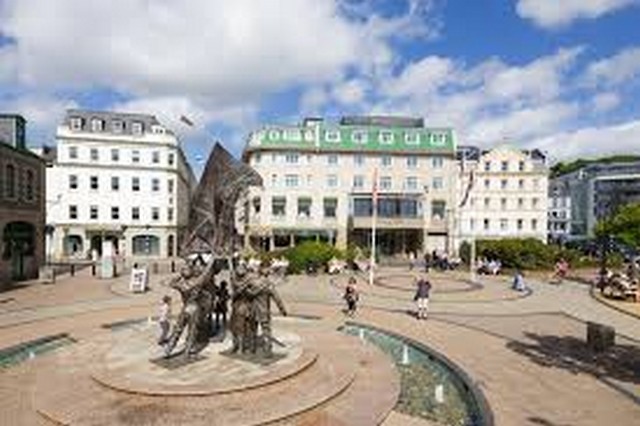
In 1995, to celebrate the 50th anniversary of Jersey being liberated from Nazi occupation, and thus 50 years of peace, a sculpture was erected in what is now called Liberation Square, in front of the Pomme d’Or Hotel, the focal point for the celebrations when the island was originally liberated.
The sculpture was originally to depict islanders releasing doves of peace, but this came under fierce criticism, with some islanders remarking that had any doves been on the island during the occupation, they would have been eaten by starving German soldiers. Therefore the sculpture was revised to show islanders raising the British flag, as they had done on the day of liberation 50 years previously.
Liberation Square is now a focal point in the town – the former terminus of the Jersey Railway housed the Jersey Tourism office until 2007.
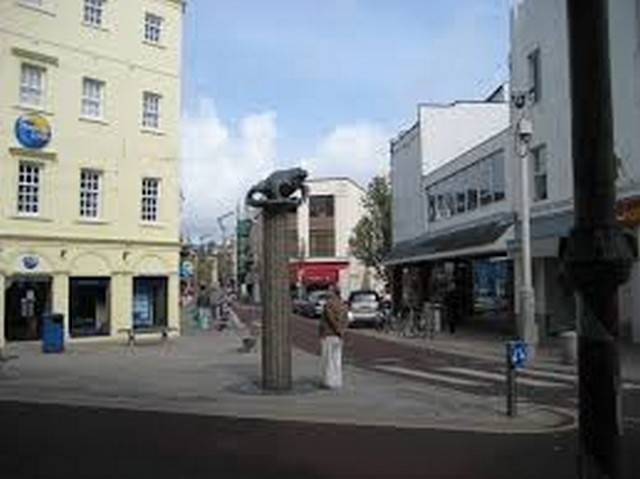
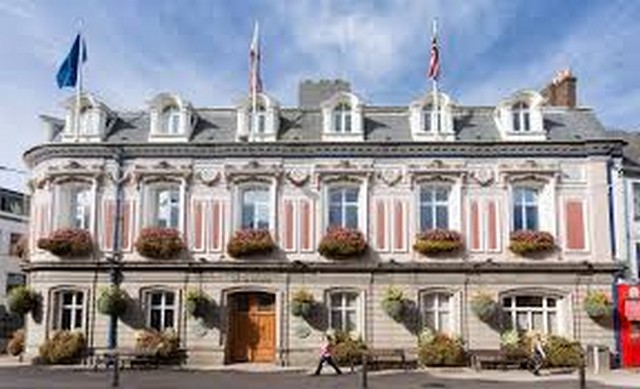
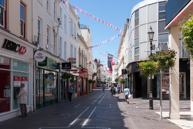
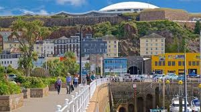
St Helier Views